
Looking for a way to dramatically reduce your carbon footprint with more accurate results?
The construction and logistics industries have been chugging fossil fuels for decades.
Traditional surveying requires large trucks, helicopters, and crew flying or driving thousands of miles.
Here’s the issue…
This is an absolutely unsustainable way to conduct business on a planet with finite resources and limits to how much pollution the environment can absorb.
Not to mention, it costs companies tens of thousands of dollars per year in operational costs.
But there is one solution to all these problems…
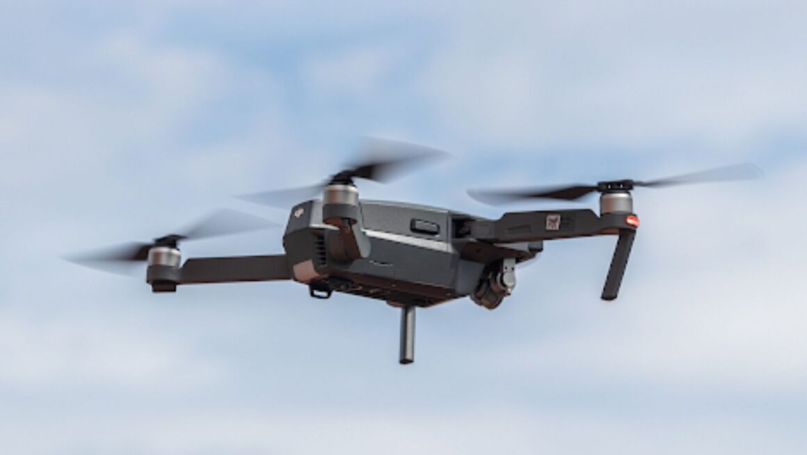
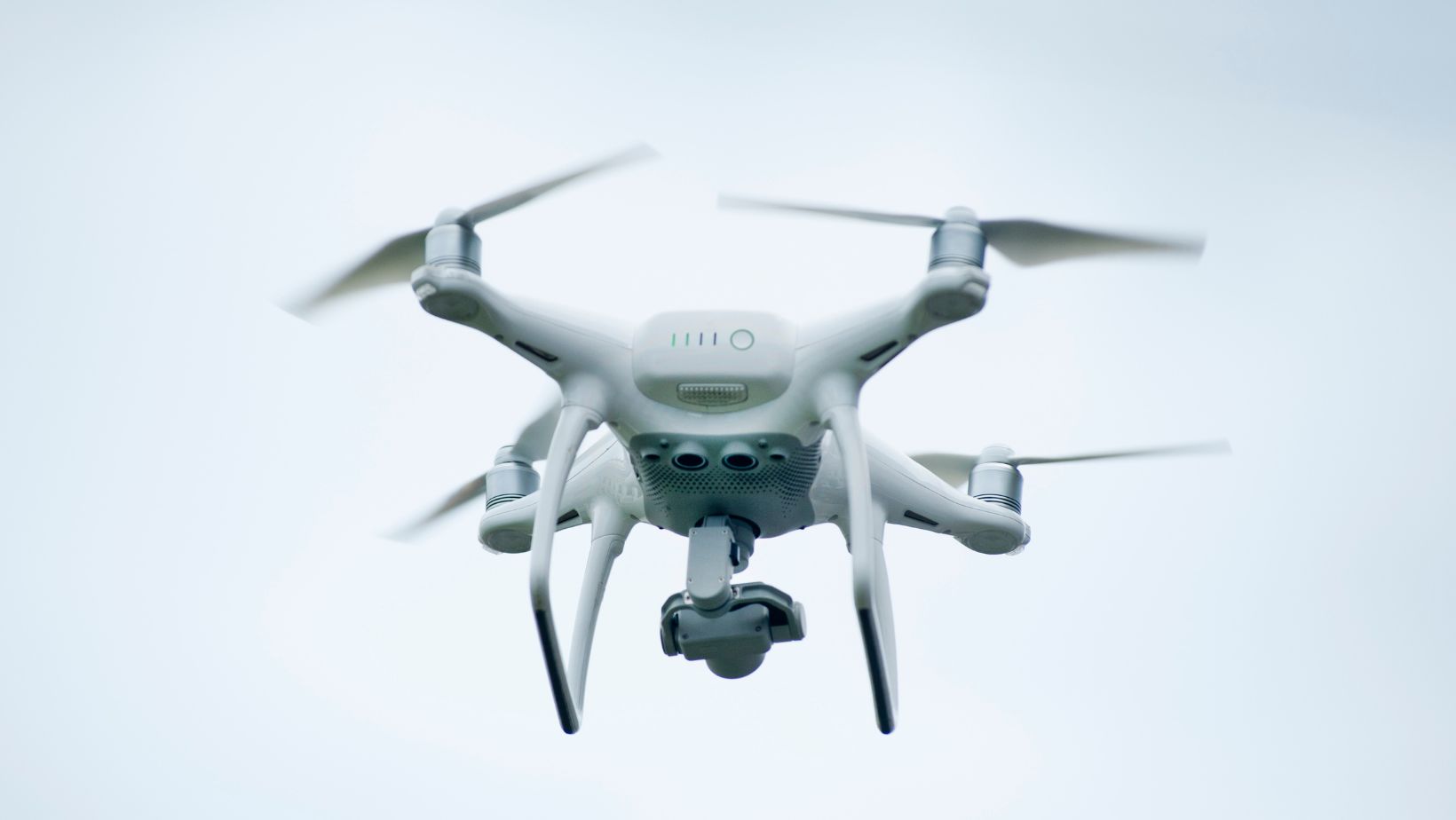
Drones are transforming the way we do surveying and logistics, while reducing carbon emissions by a huge amount.
In This Article, We’ll Cover:
- Why Drones Are The Carbon-Cutting Solution
- The Numbers Behind Drone Efficiency
- The Benefits Of Drones In Surveying Companies
- How Drones Are Being Used In Real-World Applications Today
Why Drones Are The Carbon-Cutting Solution
The switch to drone technology isn’t happening just because it’s cool.
It’s happening because it’s necessary for companies to remain competitive. Companies like WISPR, an American-made drone company have been innovating for years to bring customers cost-effective and cutting-edge drone surveying solutions to market that dramatically cut carbon emissions whilst also improving data quality.
How much better are drones than traditional surveying?
Sky surveys with helicopters are high carbon exercises. Ground vehicles driving back and forth to a site for weeks on end?
Even worse.
Research found that carbon emissions were 87% lower when using drones versus helicopter flights. 87%. That’s not a typo. In fact it’s a serious underestimation of the savings made by many companies.
Let’s look at the actuals for a moment…
If you’re conducting surveying operations with traditional methods, you could cut your carbon footprint by up to 90% just by changing how you collect data.
That doesn’t factor in the savings on personnel, vehicles, site access, or the efficiency gain of doing the same job in an afternoon versus weeks at a site.
The Numbers Behind Drone Efficiency
Let me show you something that might just blow your mind…
Did you know that drone efficiency has the numbers so big they look fake?
The fact is energy use by drones is up to 94% lower than traditional methods of transportation. When you think about it, it makes sense. To collect a single data point, you’re using 94% less energy than you would with a traditional method.
In surveying? This stat becomes even more impressive.
Traditional surveying is done by getting people to drive or fly to a site, set up equipment, and spend days, weeks even, in the field collecting data.
Each of those journeys uses fuel. Each setup burns electricity and gas. Setting up a base station, flying a drone to a site, and coming back uses minimal power.
The way it works for people? Your crew are flying on a helicopter from base to site.
67% of construction companies are already using drones for site surveying. Why?
Because it works.
How Surveying Companies Benefit From Drone Technology
The construction and surveying industries are two of the biggest generators of carbon emissions on the planet.
Construction companies alone account for 39% of global carbon emissions.
With governments starting to mandate carbon reductions and clients looking at demanding sustainability targets, firms are under pressure to cut their impact on the environment.
Enter drones.
Speed & Efficiency
Speed & efficiency are just the start. Time = money, and old-school surveying is slow.
Imagine you have an A to B point you want to survey using traditional methods. You’ll need a crew to travel to the site, set up, fly over, then fly back to base.
Compare that with a drone. You can launch at the A site, it’ll get there, capture the data and return to base in hours. What took weeks now takes days.
Not only that but you’re using zero fuel. Because they fly direct and are electric, drones are far more efficient than helicopters or ground transportation. The efficiency savings on their own make the switch worthwhile, but when you add in the carbon footprint savings?
It’s a no-brainer.
Cost Savings
Carbon = cost.
For the same reasons that drones cut carbon by a huge margin, they also slash running costs.
We touched on the fact that a 4-hour helicopter survey costs thousands of pounds per hour in rental. Accommodation, fuel, site access all add up for a traditional method.
Add in a reduction of fuel bills by 87% and suddenly, the math starts to look a lot more attractive.
The return on investment on drone surveying is almost always measured in months vs years.
Data Quality
One of the questions that always comes up about surveying with drones is around quality of data.
Critics will argue that drones can’t capture data to the same level of accuracy.
Don’t be fooled by old-school arguments. Surveying drones come equipped with LiDAR and photogrammetry tools that can generate centimeter-quality surveys, 3D terrain data, and real-time data returns.
And because drones are capable of overlapping data, in many cases, their surveys can be more accurate than traditional methods.
Real-World Applications That Are Working Today
We’ve covered the theory, but what about some practical examples…
Construction Site Monitoring
One of the most common ways companies are using drones is in construction site monitoring.
Sites all over the world are capturing progress without having to physically go and inspect areas. You no longer need vehicles driving around to site each day or flights to remote locations, instead you launch a drone and in 30 minutes, it has 4K video of the entire site and high-quality images.
The result?
Less site visits, less fuel consumption, and better project control.
Infrastructure Inspection
Inspecting things like power lines, bridges, and rail tracks used to be one of the most expensive and high-carbon drone operations that could be done.
Inspections would be completed by helicopter flights or specialist ground equipment and teams.
These days drones are doing it for you.
Capturing all the detail with less fuel and zero risk to human life on the ground. A single inspection of a bridge using a helicopter can put a huge dent in your carbon target, something that drones can help you do.
Land Surveying & Mapping
Ground surveys are another area where drones have taken off.
Ground surveys used to be conducted by teams walking across a site with GPS surveying equipment.
Drones can survey the same areas from the air, creating topographic maps and volume calculations in a fraction of the time, with much lower energy consumption.
Again, with large projects, the carbon reductions you can make by changing to drones versus traditional surveying methods is simply massive.
The Future Is Already Here
The drone revolution in surveying and logistics is not a future thing…
It’s here right now.
Companies that haven’t made the switch to drone technology already are already behind the curve. The drones are burning more fuel, spending more money, and doing more environmental damage than their rivals.
The tech is mature. The regulations are there. The value is proven.
The switch to drones is good for the planet and good for business. Better data. Lower costs. Faster results. And of course, a massively reduced carbon footprint.
What more could you ask for?
Rethinking Your Approach
Carbon reduction in surveying isn’t a case of making incremental changes and adding some offsets.
It’s about throwing everything out the window and rethinking how data is collected and projects are carried out. Drones represent the single biggest improvement in surveying efficiency and environmental responsibility we’ve seen in years.
Look at the numbers:
- 87% reduction in carbon emissions against helicopters
- Energy use up to 94% lower against conventional methods
- 67% of construction companies already using drones
This isn’t bleeding-edge or even new tech, it’s been proven, widely available and working in the real-world for a long time.
The only question isn’t whether drones can reduce your carbon footprint…
The question is, how long can you afford to wait?